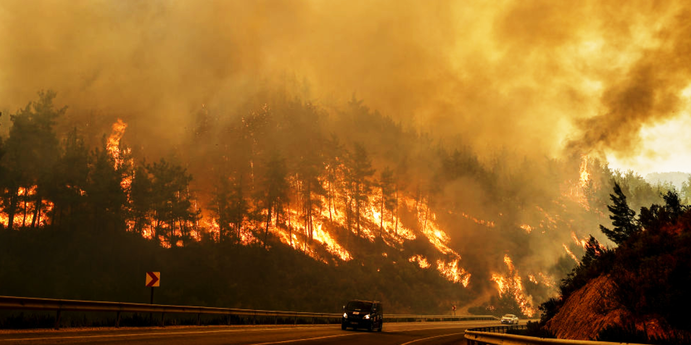
California fire officials ordered mandatory evacuations as a wildfire in Pacific Palisades spread rapidly, fueled by fierce winds across Los Angeles neighborhoods.
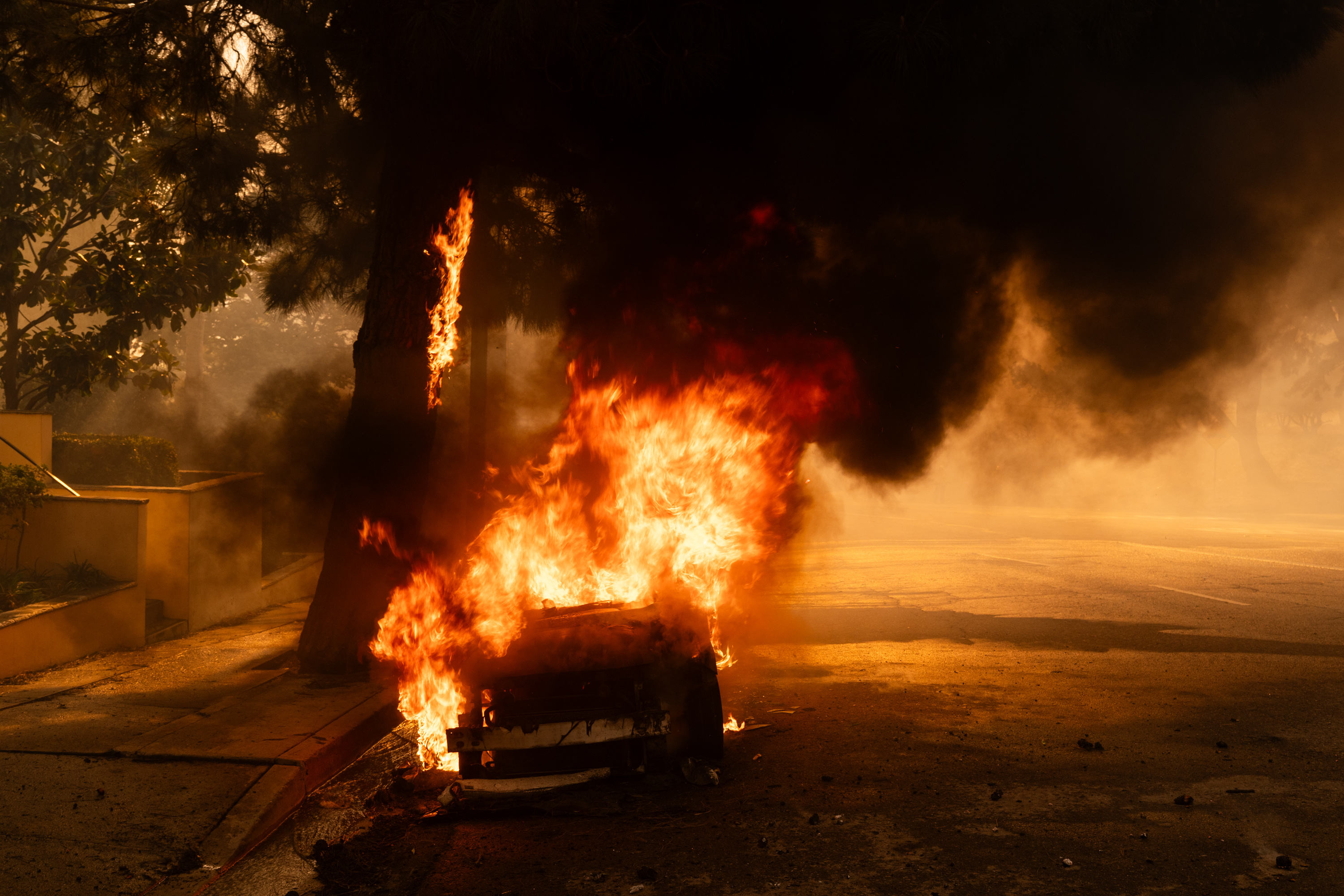
Smoke rises from a burning vehicle as a brush fire spreads in Pacific Palisades, Los Angeles, California, on January 7, 2025 | Source: Getty Images
According to CAL FIRE (California Department of Forestry and Fire Protection), strong winds and extreme conditions are complicating efforts to control the blaze.
The fire has already consumed 1,262 acres, and containment remains at 0%. Strong winds of up to 60 mph are fueling the flames, making firefighting efforts more challenging.
Authorities warn that the fire’s extreme behavior, including spotting over long distances, poses a significant threat to nearby communities. Mandatory evacuation orders have been issued for 15 zones in Los Angeles.
Residents in LOS-Q0767, MAL-C111-A, MAL-C111-B, RMB-U030-A, SSM-U010-A, SSM-U010-B, TOP-U001, TOP-U002, TOP-U003, TOP-U004, TOP-U005, TOP-U006, TOP-U007, TOP-U008, and TOP-U009 must leave immediately for their safety.
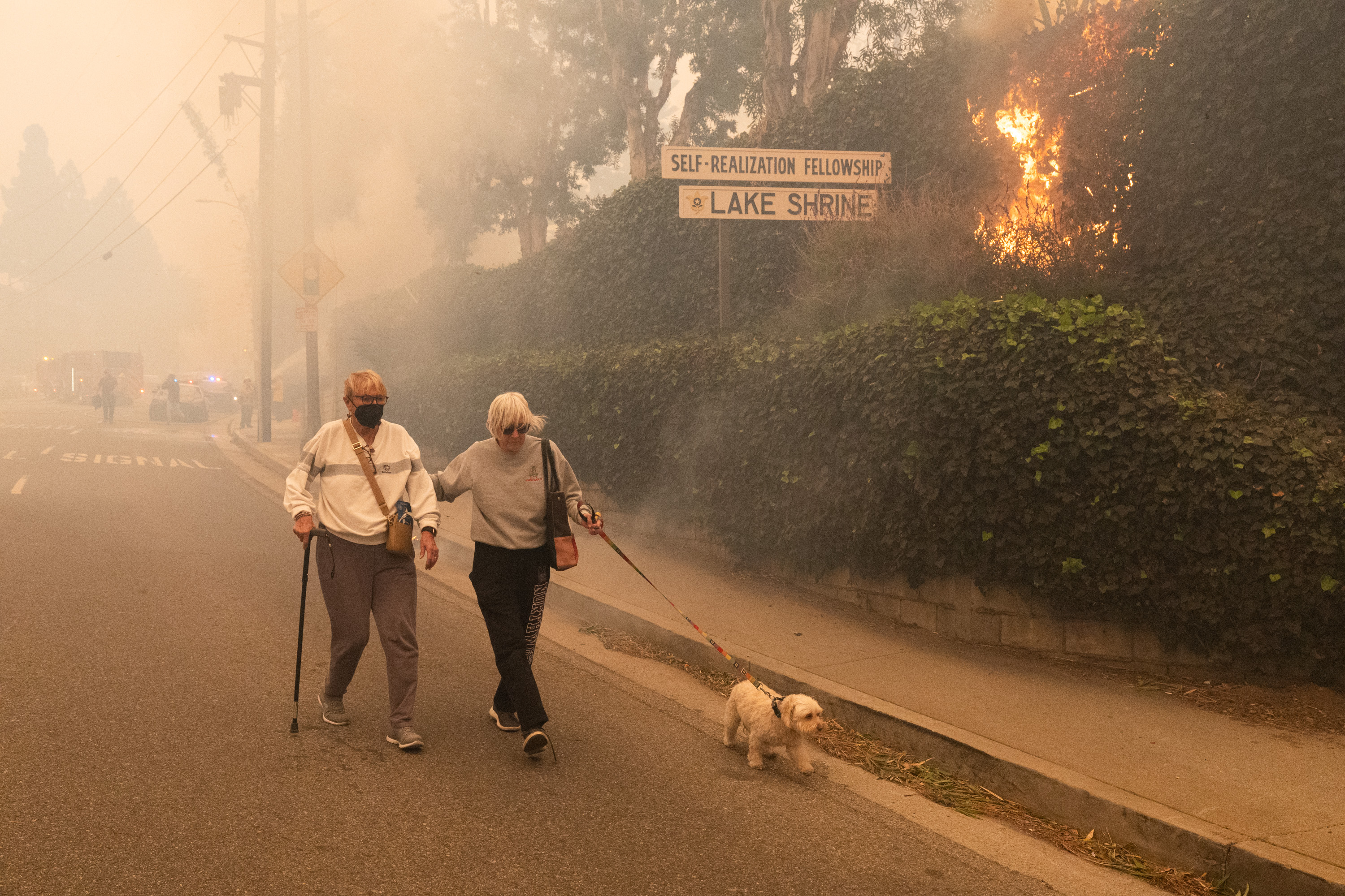
Residents evacuate as a brush fire, fueled by strong Santa Ana winds, burns in Pacific Palisades, Los Angeles, on January 7, 2025 | Source: Getty Images
Additionally, evacuation warnings have been announced for 19 other zones, advising residents to prepare to leave at a moment’s notice.
The affected warning zones include CAL-C405, CAL-C406, CAL-C407, CAL-C408, CAL-C409, CAL-C410, CAL-C411, CAL-C412, CAL-C413, CAL-C414, CAL-C415, DRY-U026, MAL-C111-A, MAL-C112, MTN-U028, RMB-U030-A, RMB-U030-B, RRC-U027, and SDP-U029.
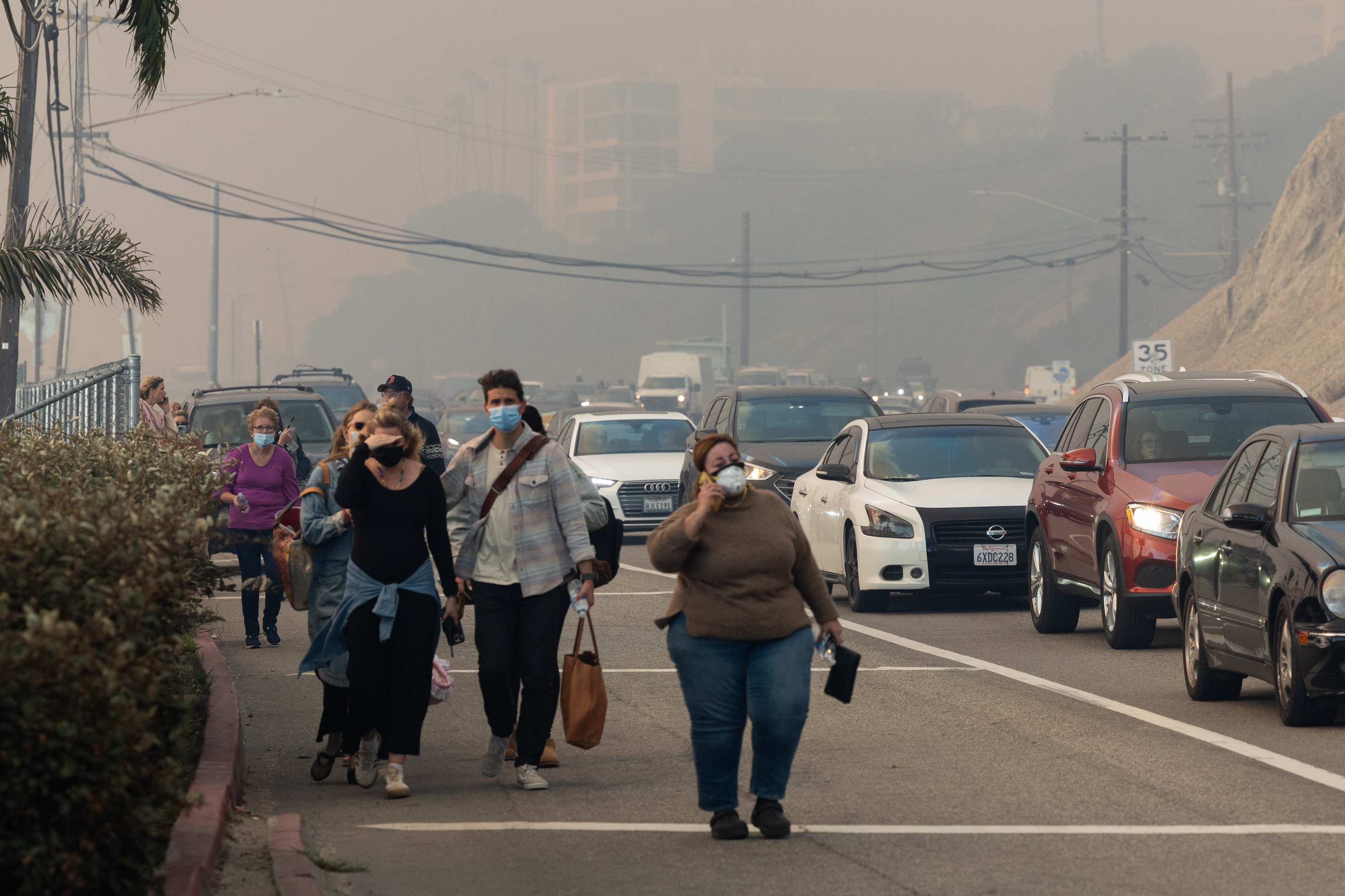
More residents evacuate their homes on January 7, 2025 | Source: Getty Images
For evacuees, an evacuation center has been set up at the Westwood Recreation Center, located at 1350 South Sepulveda Boulevard, Los Angeles, California 90025. This shelter provides resources and temporary relief for residents displaced from their homes.
Several major roads in the area are closed due to the wildfire and evacuation efforts. These include Southbound Pacific Coast Highway at Las Flores Canyon Road, Southbound Pacific Coast Highway at Topanga Canyon Boulevard, and Coastline Drive and Southbound Pacific Coast Highway.
Drivers are strongly urged to avoid these areas and monitor updates from CHP-West Valley for the latest road closure information.
Firefighters from multiple agencies, including CAL FIRE, the Los Angeles County Fire Department, and the Los Angeles City Fire Department, are working tirelessly to contain the fire. Ground crews and aerial resources have been deployed to slow its spread and protect homes, infrastructure, and lives.
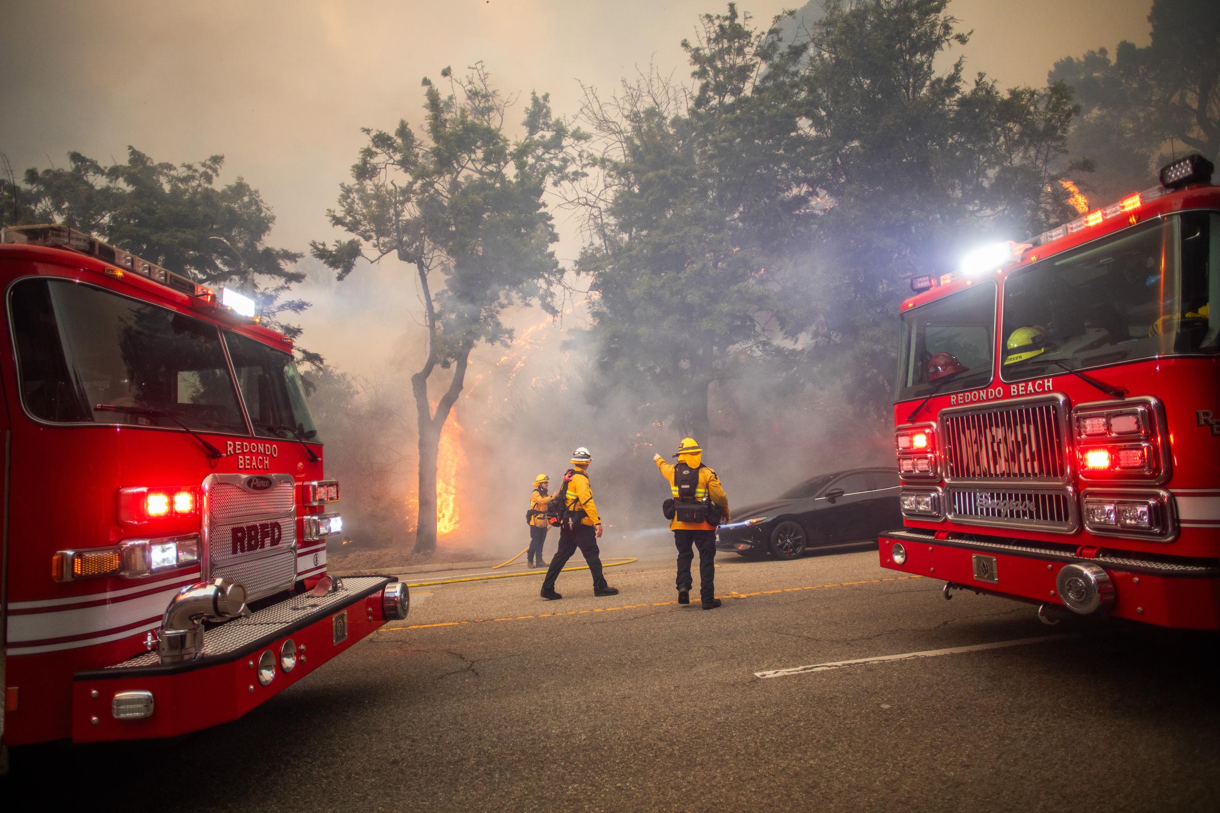
Firefighters control flames from the Palisades Fire on Sunset Boulevard during a strong windstorm on January 7, 2025 | Source: Getty Images
Authorities are urging residents to follow evacuation orders and stay updated through official channels as conditions evolve.


